Background & Process
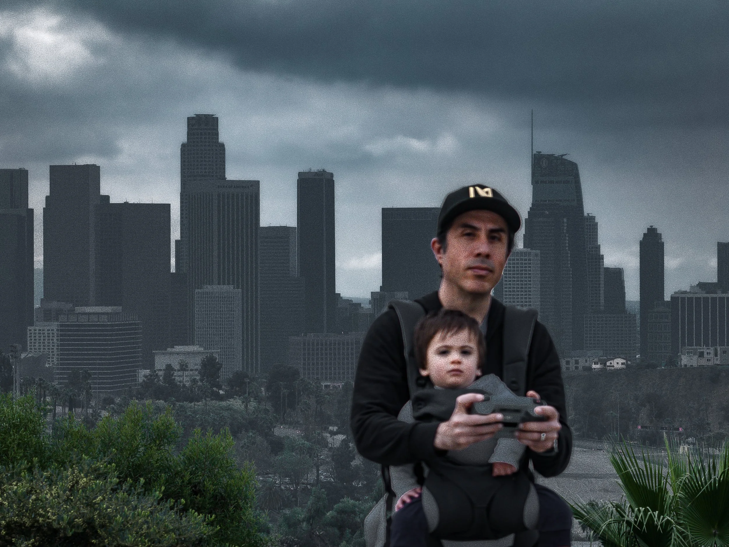
Sal Avila utilizes high-resolution aerial photography to document the changing landscapes of California. His perspective was forged in the dense urban core of Los Angeles, where he began his practice by capturing the historic textures and soaring metallic lines of the city's architectural heart.
Now based on the Central Coast, Sal’s work has shifted toward the ethereal marine layers and natural geography of Santa Barbara. A dedicated student of local history, he seeks to preserve the character of the California landscape through high-resolution aerial sensors. Through his portfolio at aviladrone.com, Sal invites viewers to see the familiar from a breathtaking new altitude—a perspective defined by transition, precision, and geographic discovery.
Following a selective review of his aerial portfolio in 2026, Sal was invited to join the Santa Barbara Art Association (SBAA) as a Juried Member.